Import Data from Anywhere

Register an
account
Upload your
data
Generate
maps
Download maps
from any device
You have multiple ways to get files into our system. If you need to generate maps several times a month, you can upload a large file having billions of rows directly from your web browser.
As you need to add additional data, just keep uploading it to the same map and the map will become further enhanced. If you'd like to automate your geospatial heatmaps, or programmatically append them, you can submit new map data to our system with our easy-to-use API.
You can also request our system to download data files from a remote web-accessible server.Future releases will grab data directly from your favorite database.
After you register and upload your data
You will likely spend many thousands of dollars to hire a new team member or outside contractor that claims to be a data visualization expert, but you will still be dragged into the engineering process, finding bugs, testing them, and waiting for the engineers to create a map that you need to generate several times per month for yourself or your management team.
Here's What You Need to Get Started
Let’s face it - the process of creating heatmaps from datafiles which contain gigabytes of data is time consuming, laborious, and expensive, especially when it’s not your core business.
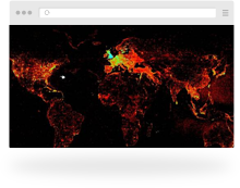
 Add up to 500 Billion Points per Map
 Upload Files from Your Computer
 Customize Map
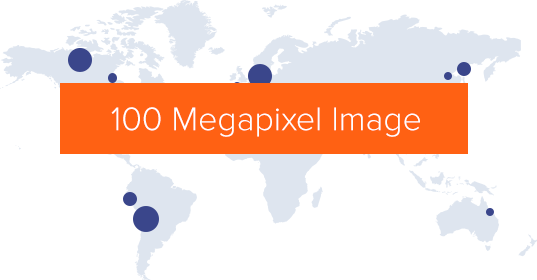
 High-Resolution Output Up To 100 Megapixels
 Import Files from External Sources
 Data Storage up
 Unlimited Sharing of Maps and Data
 Secure SSL Access Available